Walking Backward to Notice Forward: Using Historic Maps on Everyday Routes
Problem
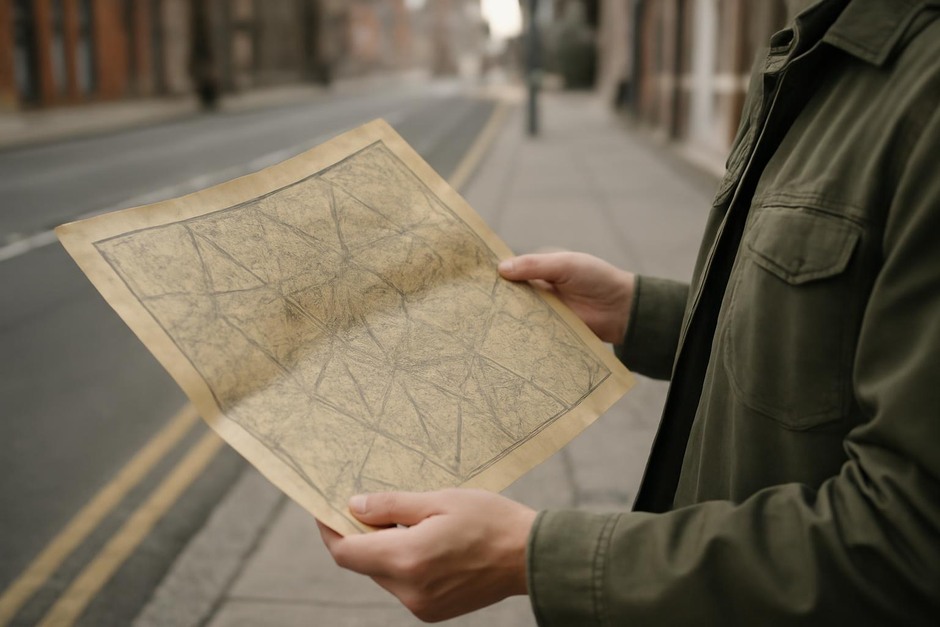
We walk the same streets, enter the same shops, and pass familiar facades without much thought. That ease has its comforts, but it can also flatten the textures of place: why a lane bends here, why a park sits where it does, who worked these buildings years ago. Historic maps are one of the gentlest tools for recovering that layering of time. They let you literally hold previous versions of a place while you move through the present. The result is not a factual excavation alone; it’s a way to notice more deliberately, to ask questions a little differently, and to care for small, local histories as you go about daily life.
Principles
Bring a few guiding principles to make historic maps useful rather than merely quaint.
- Layer time, don’t replace it. The goal is to let older plans or names cast fresh attention on what’s in front of you, not to insist the past is the only true story.
- Work at walking scale. Use maps that match the size of a single walk (neighborhood to quarter-mile scale). Large regional maps can be interesting, but they rarely translate into usable cues during a short stroll.
- Look for material traces. Buildings, property lines, old lanes, mill-races, tree belts — these features often survive as subtle cues in the present built or natural environment.
- Ask one question at a time. A map can suggest many mysteries; pick one (Why is this street curved? Who worked here?) and let the walk answer it in fragments.
- Use simple tools. A photocopy, a phone image, or a printed overlay on a transparent sleeve is more reliable in the field than an elaborate app that distracts you from looking up.
Examples
1. The Urban Block: Finding the Old Parcel Lines
Choose a half-mile loop through a familiar downtown block. Bring a historic cadastral or fire-insurance map at roughly the same scale. Start at a corner and compare: which building footprints match? Where are gaps — alleys that no longer appear, oddly angled façades, or doorways that now face a different street? Pause at one such mismatch. Photograph the façade, sketch the footprint on the historic map, and note what the current business is. This simple comparison often reveals stories of consolidation, redevelopment, or changing land use.
2. The Suburban Edge: Tracing the Old Property Lines and Paths
On the boundary between a suburb and open land, historic maps commonly show hedgerows, field boundaries, or an old lane now converted into a cul-de-sac. Walk this edge with an overlay of an older map. Look for surviving hedges, slightly raised paths, or stone walls. These are the breadcrumbs of past land management. Make it a short practice to identify one surviving feature per visit.
3. The Rural Lane: Reading Water and Roads
Rural maps often render mills, ponds, and drainage lines that shaped settlement patterns. Walk a country lane with an old map that highlights water features. Note where small streams intersect the road and whether the lane widens or narrows — clues to fording points or former mill infrastructure. A single observation, like a shallow embankment beside a stream, can turn into a story you return to on later walks.
Concise Practice Checklist
- Choose a 20–40 minute route — one you already walk occasionally.
- Find a historic map at a similar scale — a scanned fire-insurance map, old town plan, or cadastral layout works well. Make a printed copy or a phone image you can view offline.
- Decide on one question — e.g., “Where did the lane used to go?” or “Which buildings predate 1900?”
- Walk slowly and look for three types of traces — footprints (building shapes), lines (property or hedgerow remnants), and textures (stone walls, cobbles, mature trees aligned with old boundaries).
- Record one small finding — a quick photo, a two-line note, or a tiny sketch on the map.
- Repeat twice more — try the same loop on different days or seasons to see how new light or plant growth alters what you notice.
Historic maps give ordinary walks the feel of a layered conversation between past and present. They reward a slow pace and a single, curious question. Over time, the practice turns routine routes into places you know by more than convenience — you come to notice how a town rearranges itself, how a stream still insists on a path, and how the small decisions of past residents shape your everyday steps.